

Early detection is crucial in protecting native plants and animals from severe damage caused by invasive species. The longer it takes to respond to an invasive species, the more money and time must be spent restoring and protecting the ecosystem. Severe economic effects can be prevented by alerting local growers of an invasive species and how to manage it without profit loss. If management techniques can be developed rapidly, the response is much more effective. There are 7 steps to making Early Detection, Rapid Response method successful. Click on each of the steps to the right for a definition/summary, and methodology.
A geographic information system (GIS) integrates hardware, software, and data for capturing, managing, analyzing, and displaying all forms of geographically referenced data and information. GIS allows one to input, integrate, analyze, model, interpret, and visualize spatial data in ways that reveal relationships, patterns, and trends in the form of maps, reports, and charts. GIS helps answer questions, solve problems, and even market new research ideas by observing spatial data in a way that is easily understood and shared.
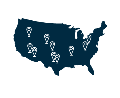
T.I.S.I. is in the early stages of acquiring and integrating up-to-date, highest spatial resolution available, state-wide (Texas), digital geo-spatial data sets (i.e., ecological systems, geology, topography, hydrology, land cover, protected areas, etc.) into a GIS that will be appropriate for the study and management of invasive species. These maps will initially be used to display point data gathered by citizen scientists and researchers that report the location of existing and new communities of invasive species. The primary objective is to eventually be able to supply the scientific and greater user community with geospatial data that are suitable for input to ecological niche models. These models describe environmental conditions under which invasive species should be able to maintain populations. As input, these models use a set of point locations where invasive species are known to exist (i.e., in their originating country/region) and a set of corresponding geographic map layers representing the associated environmental parameters that might represent a species preference to establish. The end result is an invasive species prediction model and/or map. These predictive maps are particularly useful to field teams that are responsible for monitoring the spread of invasive species and conducting associated early response actions.
Recommended Literature:
Beyond Control: Wider implications for the management of biological invasions
Biosecurity: moving toward a comprehensive approach
Eradication - Preventing invasions at the outset
ESA Report - Biological invasions: Recommendations for U.S. Policy and Management
How much information on Population Biology is needed to manage introduced species?
New Approaches for Early Detection and Rapid Response to Invasive Plants in the United States
Optimal detection and control strategies for invasive species management
Risk analysis for Biological Hazards: What we need to know about Invasive Species
Show me the numbers: what data currently exist for non-native species in the USA?
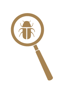


The identification and validation component of E.D.R.R. represents a public interface to a group of tools that will assist users in correctly identifying suspected invasive species. It serves as a filter to help minimize false reporting.
*If you know of diagnostic keys, guides, and other on-line tools for identifying invasive species that you think should be included in this list, please contact Autumn Smith-Herron or Jerry Cook
Taxonomy and Distribution of the Argentine Ant, Linepithema humile (Hymenoptera: Formicidae)
Key for Identifying Beetles in the Family Buprestidae
Morphometric Wing Measurements for Separating Africanized Honey Bees from European Honey Bees
Key to all Western Hemisphere leafhoppers in the genus Balclutha. Used to key out the Red-streaked Leafhopper.
Identification and Distribution of the Rasberry Crazy Ant, Nylanderia fulva (Mayr)
Identifying 17 different Tree Diseases from the North Carolina Cooperative Extension
Aid for Identifying the Walnut Twig Beetle; the insect vector of Thousand Canker Disease


© 2014 Texas Invasive Species Institute. All Rights Reserved
Lamar University | Sul Ross State University | Texas State University, San Marcos